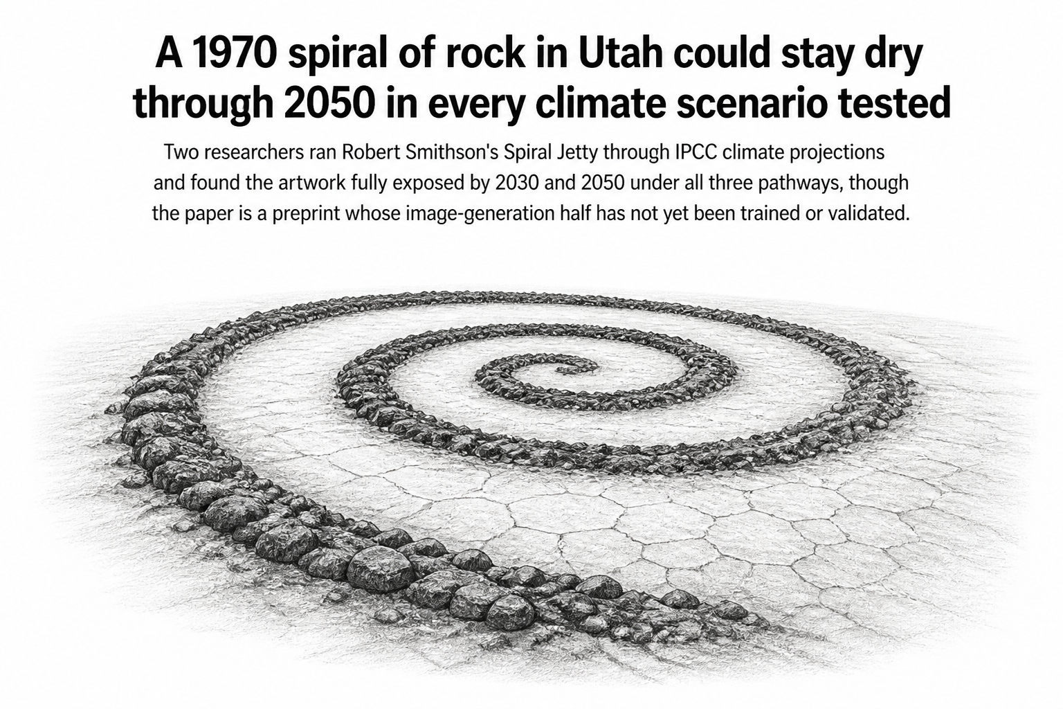
Robert Smithson hauled roughly six thousand tons of black basalt into the Great Salt Lake in 1970 and arranged it in a coil 1,500 feet long. For most of the next three decades, the water covered it. Then the lake fell, and the spiral came back, crusted white with salt. Satellites have been photographing that same patch of Utah shoreline the whole time, and a pair of researchers have now turned those photographs into something closer to a gauge.
Alev Cinbarci and Sean Kalaycioglu, writing in a preprint posted to arXiv on July 30, build on a companion study that assembled 1,744 co-registered satellite image chips of the Jetty. The images come from Landsat 4 through 9 and Sentinel-2, and they cover every year and every month from 1984 to 2025. The earlier work measured how visually complicated each image was, using things like permutation entropy (a way of scoring how disordered the pattern of pixel values is) and mean brightness, along with a component extracted from a ResNet50 neural network's read of each image. Those complexity numbers tracked lake elevation, regional temperature, and cumulative carbon dioxide.
Two details from that companion study are worth holding onto. First, the visual complexity of the artwork ran about three years ahead of the lake's water level, which is to say the picture changed before the gauge did. Second, the long-term trend was not a straight line. Complexity rose, then declined after 2015.
What the forecast actually does
The new paper is a two-stage pipeline. Stage 1 takes temperature changes from three IPCC AR6 scenarios (SSP1-2.6, the low-emissions path; SSP2-4.5, the middle; and SSP5-8.5, the high one) and projects regional temperature, salinity, cumulative CO2, and lake elevation in both the north and south arms of the Great Salt Lake, for the years 2030 and 2050. Stage 2a then feeds those projections into linear and Random Forest models, trained on the 42-year satellite record, to estimate 14 image-complexity features.
Here the authors run into a wall they are candid about. All six combinations of scenario and year push the input values outside the range the models were trained on. A Random Forest cannot extrapolate; it can only reach for the nearest thing it has seen. So the model saturates, pinning its predictions near the post-2015 dry-playa conditions that sit at the edge of its experience. The authors read this less as a precise forecast than as a signal that the machinery has run out of relevant past.
What survives that limitation is simpler and, arguably, more useful. Applying a threshold to the projected lake elevations, the paper classifies Spiral Jetty as fully exposed in every scenario, including the low-emissions one. Even the optimistic path does not put the water back.
Stage 2b is a specification rather than a result. The authors describe a system for generating plausible future images of the site: Stable Diffusion XL fine-tuned with LoRA on the 1,744 chips, ControlNet conditioning on the climate variables, and a physics-based mask enforcing hydrological plausibility. They have published code. Validation, they write, will follow once the diffusion model is trained. Readers should treat that half of the paper as a plan, not a finding.
Why it matters
The Great Salt Lake is shrinking, and the consequences run well past one sculpture: exposed lakebed generates dust, brine shrimp populations depend on salinity, and millions of migratory birds depend on the shrimp. Spiral Jetty is a fixed object of known dimensions sitting in the middle of that system, photographed by satellites for four decades. That makes it an unusually clean reference point, a ruler someone happened to leave in the frame.
The finding that image complexity leads lake stage by roughly three years is the part with practical reach. If a visual signal reliably runs ahead of a hydrological one, satellite archives of other fixed landscape features might carry early warning too. The authors sketch a roadmap toward other land artworks: Sun Tunnels, Double Negative, Lightning Field, Roden Crater.
They also stop to consider whether generating speculative images of cultural heritage is a good idea at all. A convincing synthetic picture of a drowned or buried artwork is not a photograph, and the paper devotes space to the ethics of blurring that line. It is a restrained note to end on, and it fits a paper that is unusually clear about which of its own results it does not yet have.
Smithson built the Jetty knowing the lake would take it. He described the work as subject to time. What he probably did not anticipate is that the coil would become a measuring instrument, and that its long dry spell would be the reading.